Day Twenty-eight – October 6, 2018
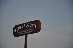
A partly cloudy day but still warm and comfortable; we pack up and smile as we smell the smoker at the Whole Hog; already working for today’s customers.
Springfield, MO is the “gateway” to Branson and we toy with the idea of jetting down there. But we decide to save that for another trip.
We are making our way through Missouri, the “Show Me” State.
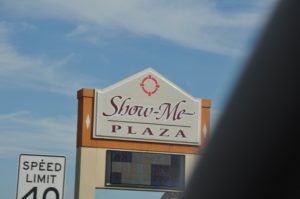
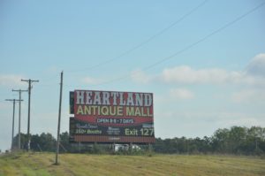
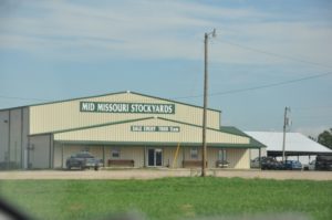
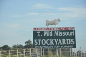
The instructions on the map are harder to follow here with some quick turns so taking photos is more challenging.
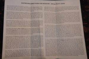
An excerpt from the directions:
“From Kearney and Glenstone, proceed east on MO 744 out of Springfield and through Stafford (now on ‘OO’) to Marshfield. Turn right in town at the junction with MO 38, then use the next left turn lane to access ‘CC.’ Bear left at the next Y and continue through Conway to Phillipsburg, turn left at the junction with ‘C’ to cross I-44 (exit 118). Turn right on the outer road ‘W’ and continue to the stop sign at BUS 44/Elm St……..Stay ahead about 8 more miles (now on ‘AB’) to a left turn onto ‘AA’ into Laquey. Proceed to the junction with ‘P’, turn right for one mile, then left on MO 17 to Buckhorn.”
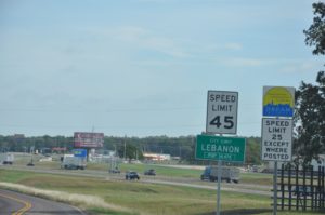
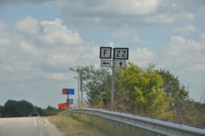
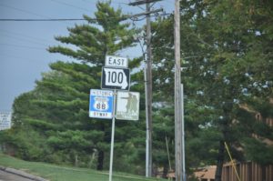
Not sure how to interpret these speed limit signs – and even more unsure as to why they even exist.
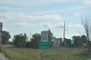
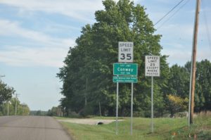
We are closely following Interstate 44 and then the back roads become lettered instead of named or numbered.

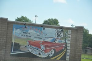
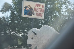
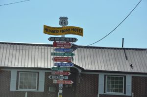
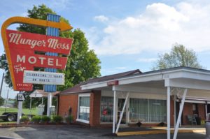
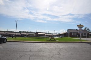
In Lebanon we are looking for the Munger Moss Motel. This motel was built in 1946; the original had separate cabins with attached carports. While it has been remodeled and changed a bit, it is still laid out in what is called “Vintage Auto Court” style.
How did this town get this name? It sounds weird to say “I live in Sleeper.”
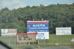
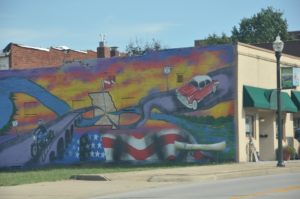
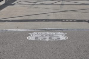
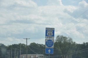
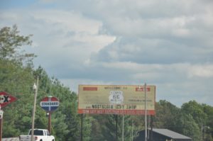
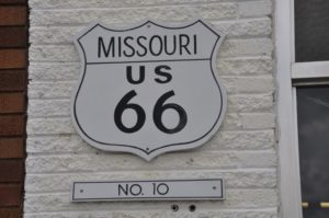
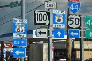
As we make our way on the old road we again see all things Route 66.
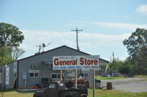
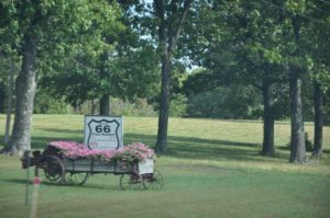
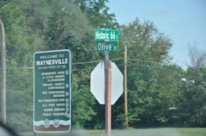
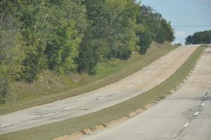
The road becomes four lane and still less traveled than the Interstate.
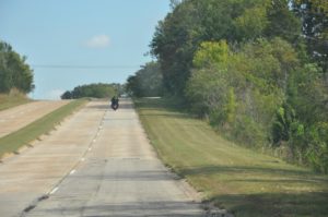
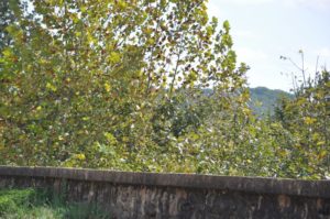
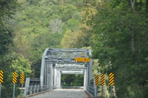
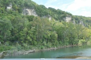
In St. Robert we look for Devil’s Elbow Bridge. We didn’t expect to be in part of the Ozark Mountain Range but here we are.
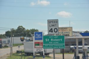
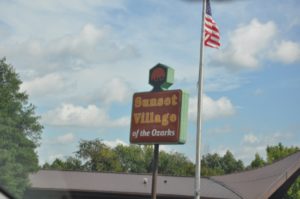
This part of the road is now back to two lanes and seems narrow.
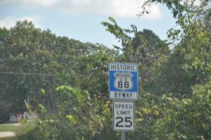
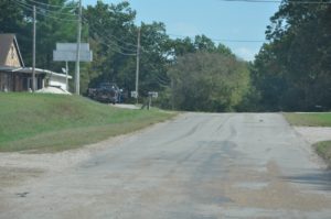
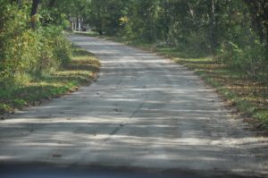
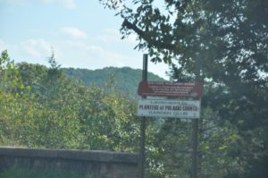
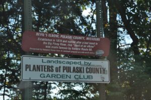
The Devil’s Elbow is indicative of a nasty bend in the Big Piney River. The bridge is said to be one of the most scenic spots on Route 66. That is hard for us to say after seeing so many beautiful sights.
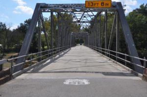
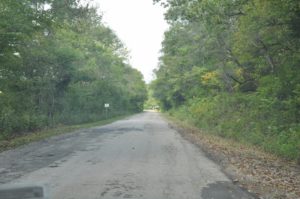
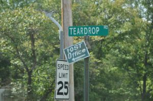
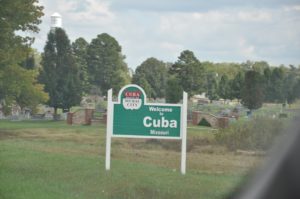
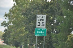
The road goes back to four lanes and then the historic part reduces to two lanes and we are off to Cuba, “the Mural City.” The weather is moving in and we are hoping to be able to find all twelve of the murals in town.
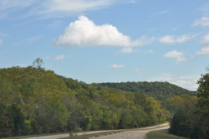
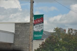
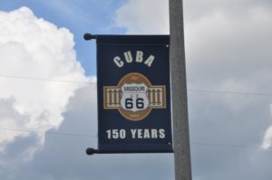
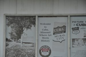
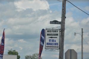
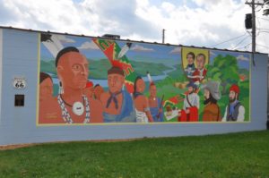
Surprisingly the murals illustrate parts of the Civil War.
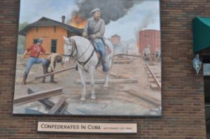
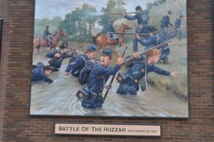
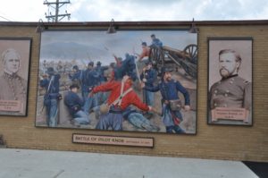
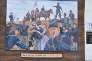
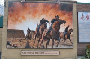
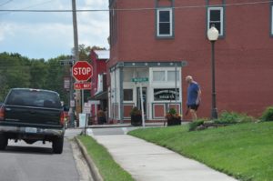
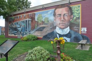
Other murals show local history as well.
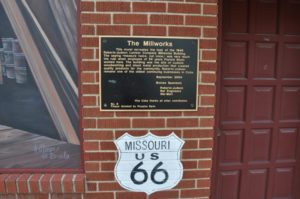
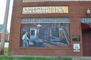
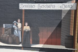
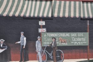
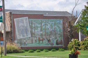
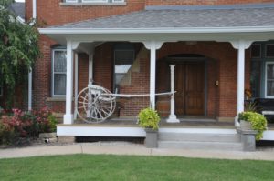
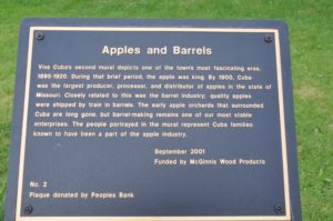
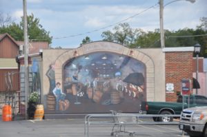
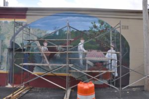

We meet a couple from Washington State. They are taking six weeks to travel Route 66 in their truck camper. The wind starts getting stronger and we notice the clouds are getting darker. We wish them well and quickly finish our photo shoot.
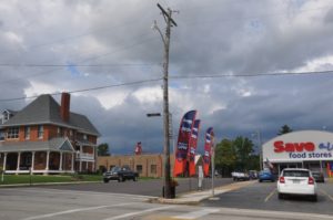
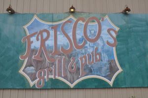

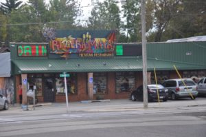
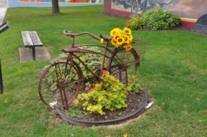
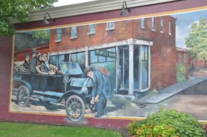
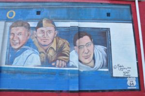
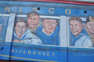
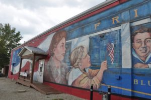
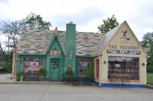
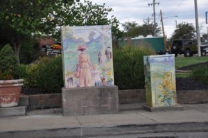
I wouldn’t mind saying “I live in Bourbon.” That sounds good!
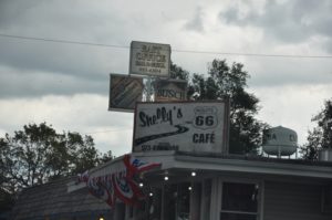
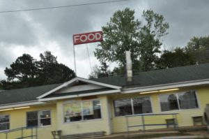
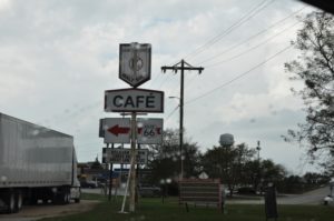
Our luck runs out and we are in rain. Next stop is Meramec Caverns. These caverns are said to be the “oldest natural feature” on the 66. It is raining quite hard now so we decide to make this a quick visit.
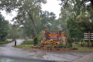
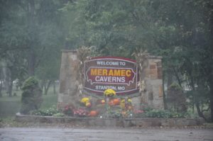
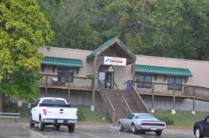
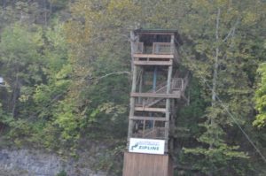
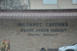
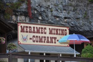
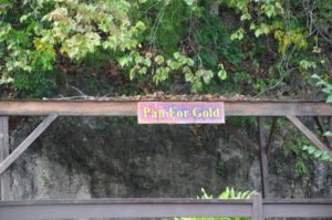
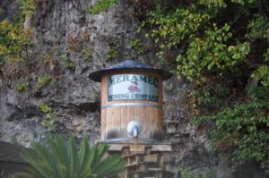

Traveling through several small towns we are on the Lewis and Clark Trail! How cool is that!
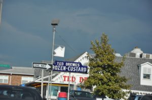
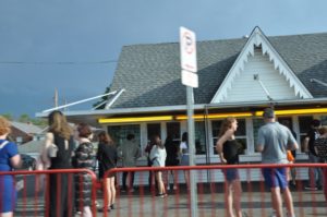
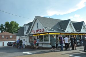
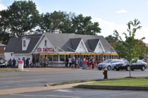
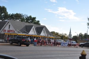
Next stop is St. Louis. We are in search of Ted Drewe’s Frozen Custard. This store was built in 1941 and is so popular there are lines and lots of people standing and waiting for “Concretes,” and mega-thick custard. Too many people and not enough time with the weather following us.
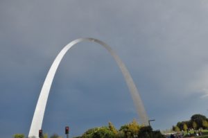
Onto downtown and the famous Gateway Arch! Wow – you can see this from quite a distance.
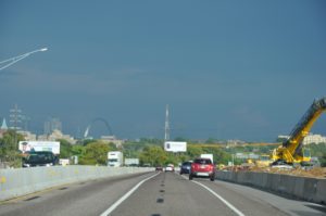
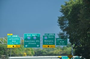
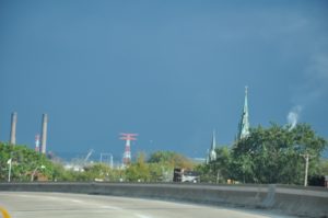
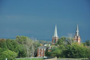
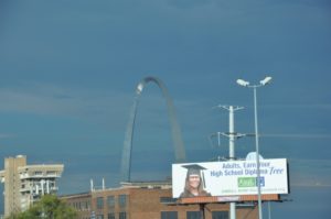
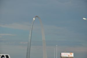
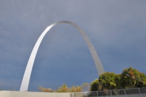
Truly beautiful! 630 feet tall – the tallest man-made arch in the world! Gateway to the West.
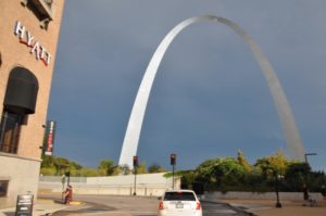
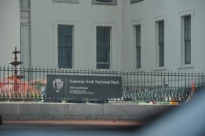
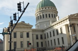
We make our way through the crowded streets and see the Courthouse.
Then we are on the bridge and crossing the Mississippi River!
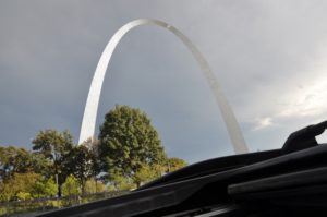
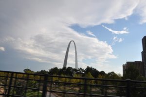
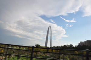
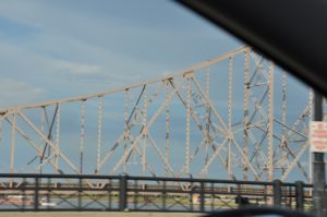
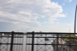
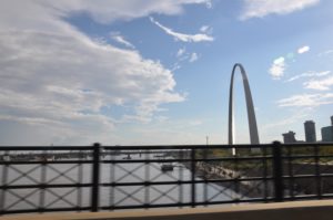
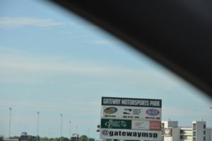
What – we are now in Illinois? Yep.
It’s getting late so we find a place in Collinsville, IL which would almost be considered a suburb of St. Louis. The 1 terabyte hard drive containing all our photos from this trip is full, and the backups are now on thumb drives. Dale decides not to take a chance on those running out of room so we find a Best Buy before the weather breaks again. We are now the owners of a new 3 terabyte hard drive; it is so small – about the size of a pack of cigarettes.
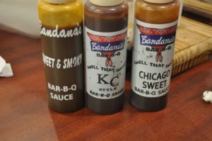
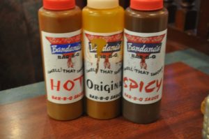
There is a restaurant close by the hotel called Bandana’s and the menu looks fine. We can walk there which is great!
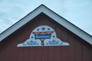
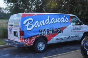
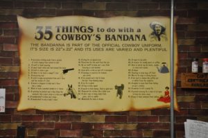
Cute place with good food. We ask about buying a bandana but they are all out. Drat!
The realization of the end of Route 66 is starting to set in and we are not sure we are happy about that.
Tomorrow is another day with lots to see.
This design is steller! You most certainly know how to keep a reader entertained. Between your wit and your videos, I was almost moved to start my own blog (well, almost…HaHa!) Excellent job. I really enjoyed what you had to say, and more than that, how you presented it. Too cool!