Day Five –
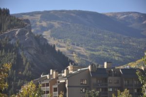
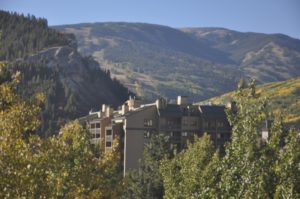
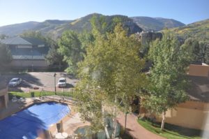
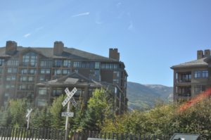
The day dawns with beautiful sunshine. This is definitely ski country with chalets and resorts and ski trails pretty much everywhere. From our room we can see more ski trails. After an adequate breakfast we pack the car and head towards Utah. It is nice they try to make this area feel like a village but they have installed so many round-abouts (traffic circles) that it is difficult to navigate.
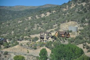
There are signs for Hanging Lake and the tour books describes this attraction as a lake appearing to hang off a cliff. Sounds like a spot we should visit!
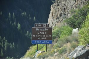
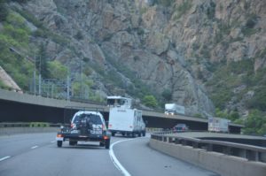
The road (I-70) is quite curvy here and it appears they have stacked the east bound and west bound lanes on top of each other in places. Additionally, it looks like the road is cantilevered over the valley in places. The valley is so narrow – and the railroad and the river were here first! There are also several tunnels through the mountains – not very long tunnels but it’s boggling to think of how these tunnels got constructed.

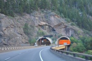
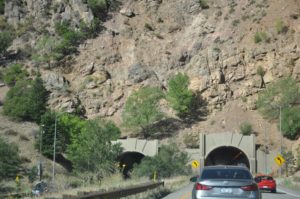
We need to exit west bound and re-enter east bound to get back to Hanging Lake Rest Stop as there is no west bound exit. It seems weird going backwards under the road we were just travelling on.
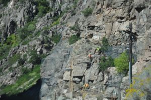
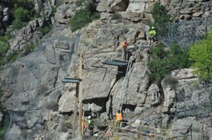
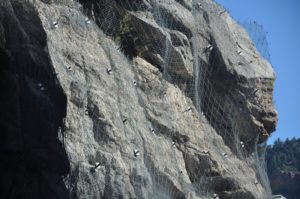
As we approach our destination we are stopped by a work crew installing wire mesh over the rock cliffs to try to stop the rocks from landing on the road. Kind of fascinating to watch but also disconcerting at the notion of falling rocks on top of the car.
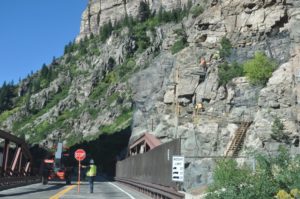
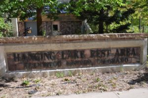
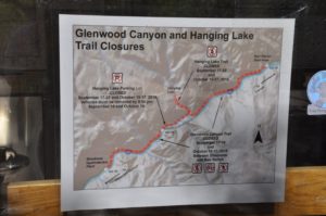
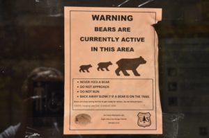
They let us pass through and we find Hanging Lake Rest Area. Very popular with limited parking and the signs say if there is no parking you need to leave and come back another time. We are looking at the Colorado River and go inside to read about the area. Some of the signage is disturbing as they warn about bear activity and snakes. There is Hanging Lake Management Plan for people to comment on – this is another place there are too many people eroding the land.
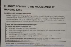
Also, they state this is a difficult hike to the lake – 1000 feet ascent – equivalent to 80 flights of stairs. Let’s see – the altitude here is already over 7000 feet. Dale says he can do 79 flights but not 80. There is no way we are prepared for this type of hike right now – so we sadly return to the car to free up a parking spot. We see a family with a baby in a stroller and wish them well and we already know they probably won’t make it to the lake.
The next planned destination is Grand Junction – where the Grand (now called the Colorado) and the Gunnison Rivers meet. The Grand Valley is a major growing area of peaches, cherries, and grapes. This is also an area for white-water rafting – and we are expecting to see an impressive confluence of waters. As we approach Grand Junction we see it is a fairly large city and have a bit of trouble finding the rivers.
We see signs for the Colorado National Monument so we follow that signage – we want to see that also before we get to Utah.
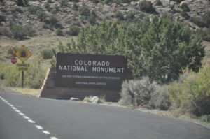
Dale was expecting the monument to be in the middle of the two rivers – and that didn’t happen. So where is this monument? The Ranger Station is un-manned and the only signage we see says Visitor Center 19 miles, Fruita 26 miles.
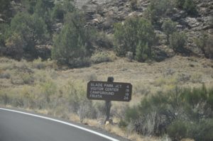
Okay – let’s find this! We are on the Upper Rim road and the scenery is beautiful. At first!
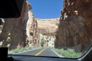
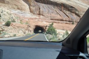
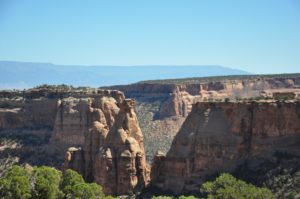
The road is paved – painted (dotted lines down the center and solid lines along the sides) – BUT – not many guard rails. We keep ascending and watch the altimeter climb. The drop off is sheer and you cannot see the bottom. The sky seems to drop away and the fear factor rises each moment.
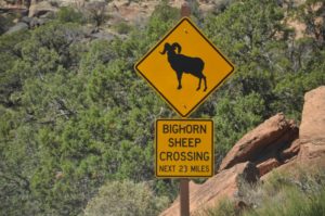
We were not expecting to have the opportunity to die every 1/10 of a second! This is terrifying – as the road winds upwards and the drop off gets sharper. Nancy is not a fan of heights and is having a difficult time. As we continue to climb higher she is certain we are going to die in Colorado. And then there is a Tour Bus coming towards us – and the roads are narrow and the edge is so close – and there are no guard rails and ………………… total melt down panic attack. Tightness in the chest, cold sweaty palms, trouble breathing and oh yes, we are over 7000 feet high – and then the sobbing and hyperventilating – and the instant thought that if I have a heart attack there is no way anyone could get to me in time because there are no places to turn around or even pull over. Two 81 mg of Aspirin are not helping. I am clutching the side of the car handle and hanging onto the Guardian Angel charm on my Pandora bracelet and praying to God to HELP! And maybe seeing a Long Horn Sheep would help—I need a sign that everything will be ok. There are no photos of this breathtaking area (literally) for obvious reasons.
Dale is trying so hard to drive slowly and reassure me but to no avail – we are going to die here. Where is this Monument? The speed limit is 25 mph, but impossible to maintain due to the 90 degree turn every 100 feet or so—-it appears we will be driving off the cliff into the canyon that is hundreds (thousands) feet below. After about 35 minutes of travel (it seemed like hours) with Nancy in pure panic attack, some signage.
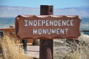
There it is – well the parking area anyway. I tell Dale he should get out and see it for himself. I could care less as I am still trying to get myself under control. He comes back with a bit of a laugh and says the Monument is pile of rocks – he is trying to be funny here to see if I am in better humor. Not working.
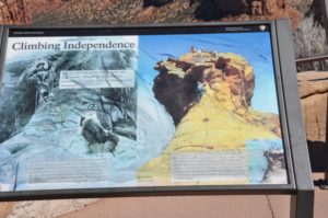

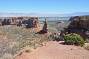
But as we leave the parking area I get a glimpse of the Monument and it is beautiful and I can say I saw it with my own eyes!
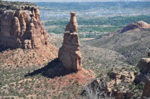
Okay – working on the breathing – trying to get this slowed down a bit – and we finally get to the Visitor Center.
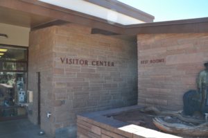
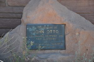
I am not moving but Dale goes in to see what he can (and probably catching his own breath). I give myself a stern lecture about being a baby and as he returns to the car I manage to open my door and put one foot on the pavement. I can do this! And surprisingly – I can! And even more surprisingly I manage to walk through the gift shop and outside to look over the side of the porch. Not go on the trail though – cannot do that – but nonetheless a break through!
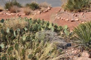
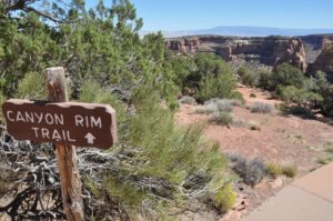
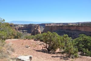
It is all down hill now and a little easier to deal with – what is that up ahead? Look – not one but five Long Horn Sheep on the roadway and then scampering up the terrain. Definitely a sign!
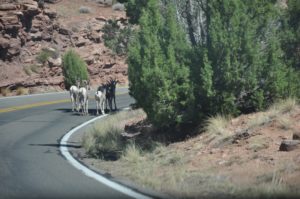
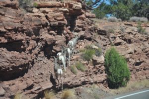
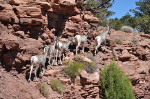
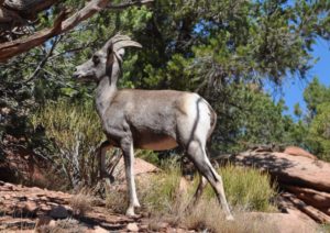
As we continue our descent I even manage to take photos. Good job!
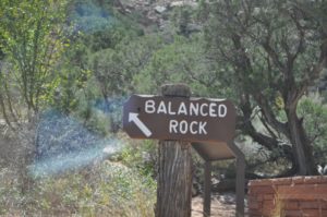
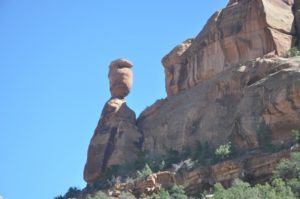
In Fruita, a small town linking us back to I-70 we eat at Starvin’ Marvin’s – homemade turkey and gravy sandwich for Dale and a club sandwich for Nancy (and another aspirin).
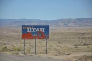
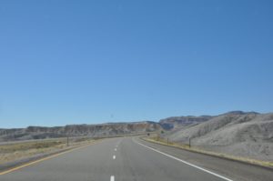
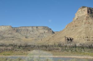
Onward towards Utah. The landscape changes a bit here with flat mesas instead of those “soaring” mountains.
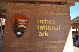
The Arches National Park is close to Moab, Utah. Our Senior Park Pass gets us in free. We are so very glad we bought these passes a few years ago. They have been mighty handy in seeing so much of this beautiful country.
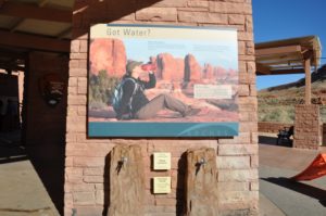
They are serious about keeping hydrated through the west. So nice that they provide a place to fill water bottles, Camelbacks, and other water containers.
You might recognize the famous Delicate Arch as it often appears on calendars. The Visitor Center is very busy even though it is after 4pm. There are various displays and a 15-minute video describing the processes the rock goes through to form the arches and the nature that lives in the park. The sandstone formations are vertical and the weather keeps eroding them. There are over 2,000 arches in the Park!
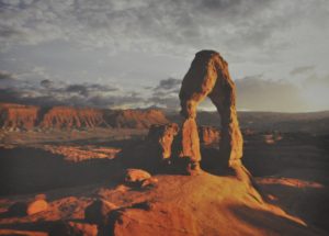
This does not look as death defying as the Colorado Monument so we decide to drive through. Now it is after 5pm and starting to get a bit darker so we pare down the visit after seeing so many arches and so much beauty to find a place for the night.
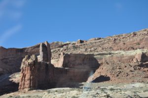
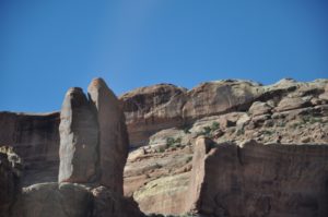
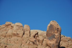
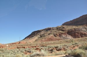
Looking at the map there is a large stretch between Green River and Beaver City that doesn’t look like much in the way of towns so we gas up in Green River. The river is actually looking quite green as there is a lot of vegetation in the river bed. Green River is the Melon Capital producing all types of melons and there are many little shops advertising their different melons.
As we progress westward the next road sign says “No Facilities Next 100 Miles.” They might have posted that sign at the last gas stop instead of here – we would not make it another 100 miles if we didn’t stop for gas!
As night falls it gets harder and harder to see the road as the sun sets and casts shadows from the mountains. Exit after exit indicates there are “No Services”. Okay, if there are no services, and no obvious signs of life (like a house or a barn or a coyote) why have an exit?

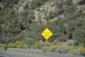
The road signs indicate “Live animal crossing”, “Watch for Rocks in Road”, “Falling Rocks.” Okay we are watching but what will we do about that particular encounter? Not sure if we are better off on the rim road where you could be cast over the rock canyon or in the valley where the rock can just tumble down and bury you. Quite the question and it is too real to contemplate right now.
It is very dark as I-70 ends and becomes I-15 North and South. We can go north to Salt Lake City or south to Las Vegas. Since our daughter lives outside of Vegas we go south. I am convinced there will be a ton of places here to stay at this major intersection. I am wrong – there is nothing. Nothing.
We keep driving until we find the very first place with accommodations, find a room, and since it is so late the only place open for dinner is Denny’s. Denny’s it is! Dale gets the home-made loaded potato soup and a grilled cheese and tomato sandwich. I get the loaded tater tots. Comfort food for both of us and we start to wind down for the night. It has been a long day and a stressful day. Dale’s eyes are tired and my chest is still hurting. We watch the latest on Hurricane Florence as it should make landfall tomorrow morning – worried about family members that live in the Carolinas.
Time for a long hot shower, Aleve, a heating pad, and clean fresh clothes from top to bottom. Every muscle is complaining. Yes, my chest still hurts!
Sorry Nancy had such chest pains; stress will do that.
Arches was one of our very favorite places to visit when we traveled out west.
Could have warned you about no places to stay for over 100 miles.
Love your blogs. We will have to catch up after we come back from Europe Friday, 10/5.
We were kept safe from any Florence damage; so grateful.
Say “Hi” to your girls and grandaughter.
Love, Ilse and John
Oh my gosh! Such exciting reading! Marty followed along on the map as I read your blog. So fun because we did much of your route up to Colorado. Marty was dying to go into the Arches and Dinosaur National Monument. But when we were traveling through there, it was supposed to be 110°.